Image
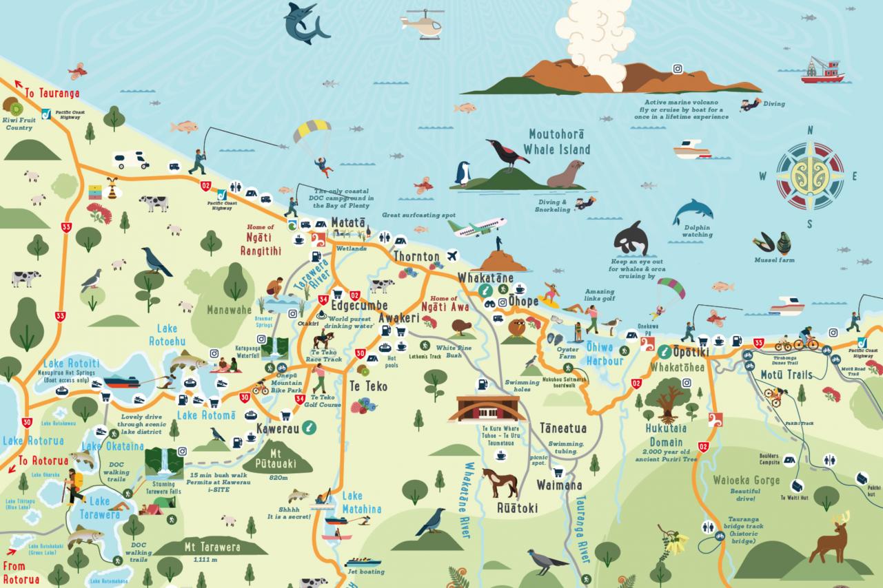
Animated map of the Whakatane District

Maps

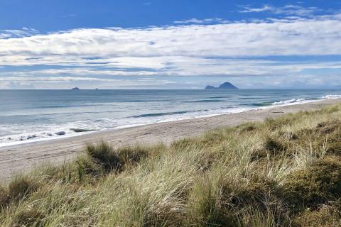
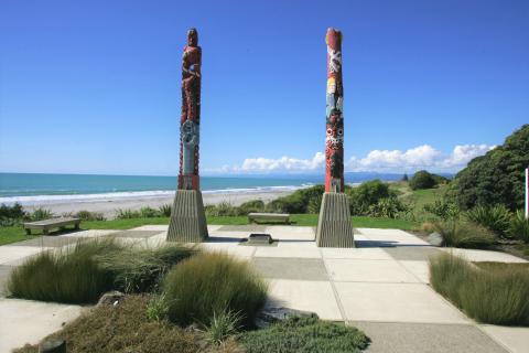
Our beautiful part of the world stretches from the stunning Eastern Bay coastline (with New Zealand's Most Loved Beach) right into the heart of some of New Zealand's most unique and diverse forests.

Download our Whakatāne District Visitor Maps

Please note, not for commercial use.  If you require the map for commercial purposes, please contact us.
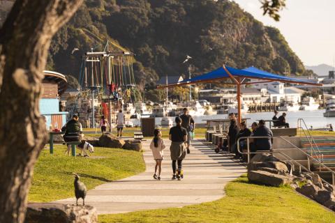
Whakatāne has a busy shopping precinct with a vast range of delectable cafes and restaurants, boutique fashion and homeware stores, bookshops, several sporting and recreation outlets and more.

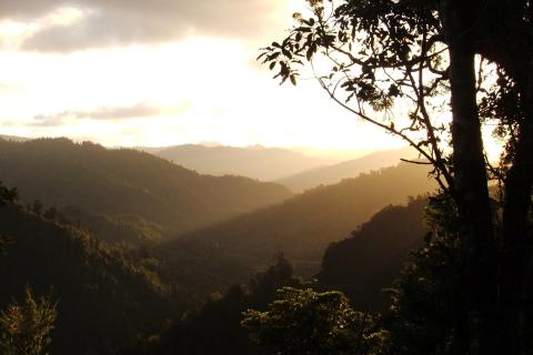
Remote, rugged and immense, Te Urewera is a historic hinterland of vast forests and pristine lakes that will quench the nature-lust of any outdoor enthusiast.

Abundant sunshine, warm waters and safe swimming make Ōhope Beach the perfect holiday destination.

Steeped in cultural history, the Tāneatua and Waimana settlements lie to the south of Whakatāne.

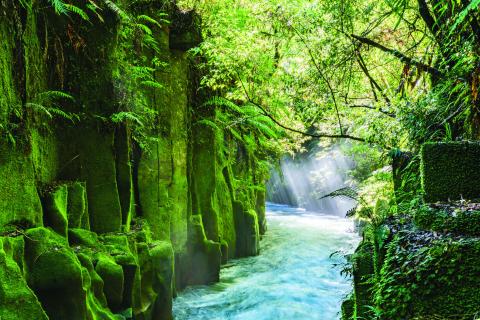
One of New Zealand's most remarkable and significant forests and a must-see biodiversity hotspot.

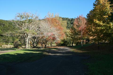
Blessed with gently undulating land and productive pastures, the Rangitāiki Plains offers a diverse range of attractions and activities within a 25km radius of our central hub.

The quiet seaside town of Matatā boasts some of the best long sandy beaches in the world.

The Eastland section of the Pacific Coast Highway is a spectacularly beautiful region, with very friendly people and a relaxed lifestyle.